work with us

OUR SERVICES

Delivering innovative solutions and premium surveying products

Give us a call at

Services

Comprehensive Solutions for Complex Problems

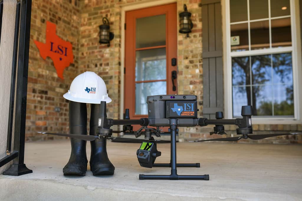
We deliver the very best survey solutions on the market with exceptional technology and expert skills to deliver a high-quality product that saves our clients time and money.

  • Airborne LiDAR 
  • Terrestrial LiDAR
  • Mobile LiDAR
  • Photogrammetry
  • Hydrographic Surveys
  • GPS Surveys
  • ALTA/NSPS Land Title Surveys
  • Boundary and Title Surveys
  • Subdivision Platting
  • Topographic & Design Surveys
  • Floodplain Mapping
  • Construction Surveys
  • State Land Surveying
  • Federal
  • State
  • County
  • City
  • Transportation
  • Education
  • Aviation
land survey technicians standing in river with mud boots reading survey data for bridge and land survey solutions

Land Surveys

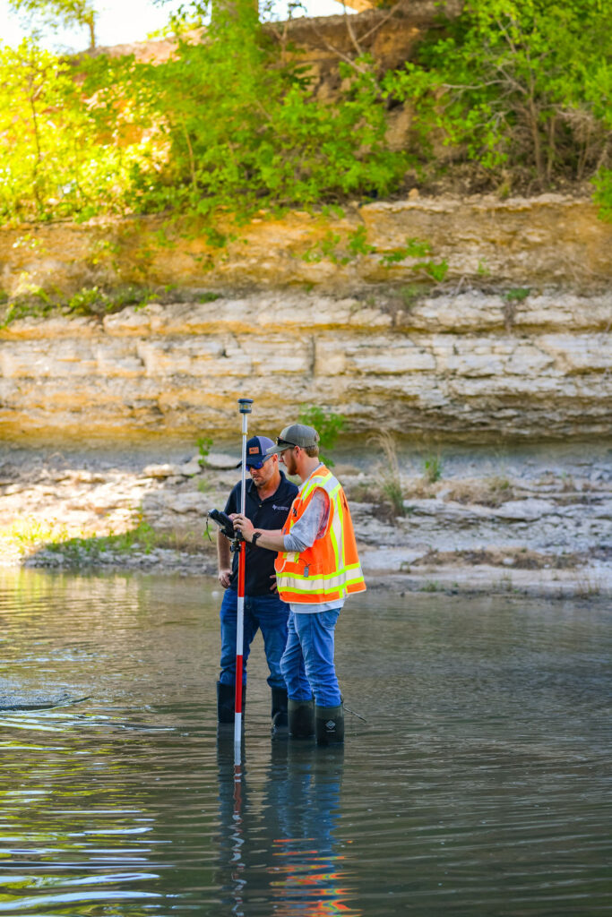
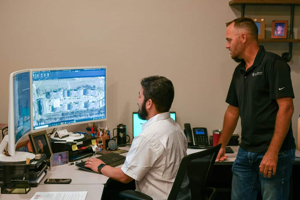
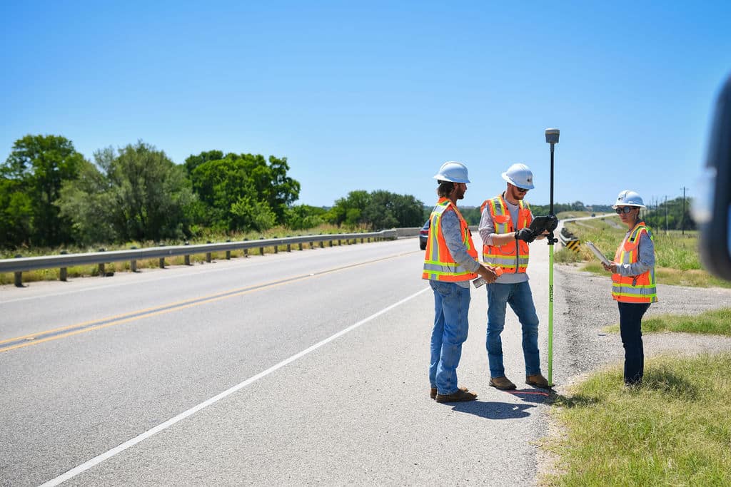
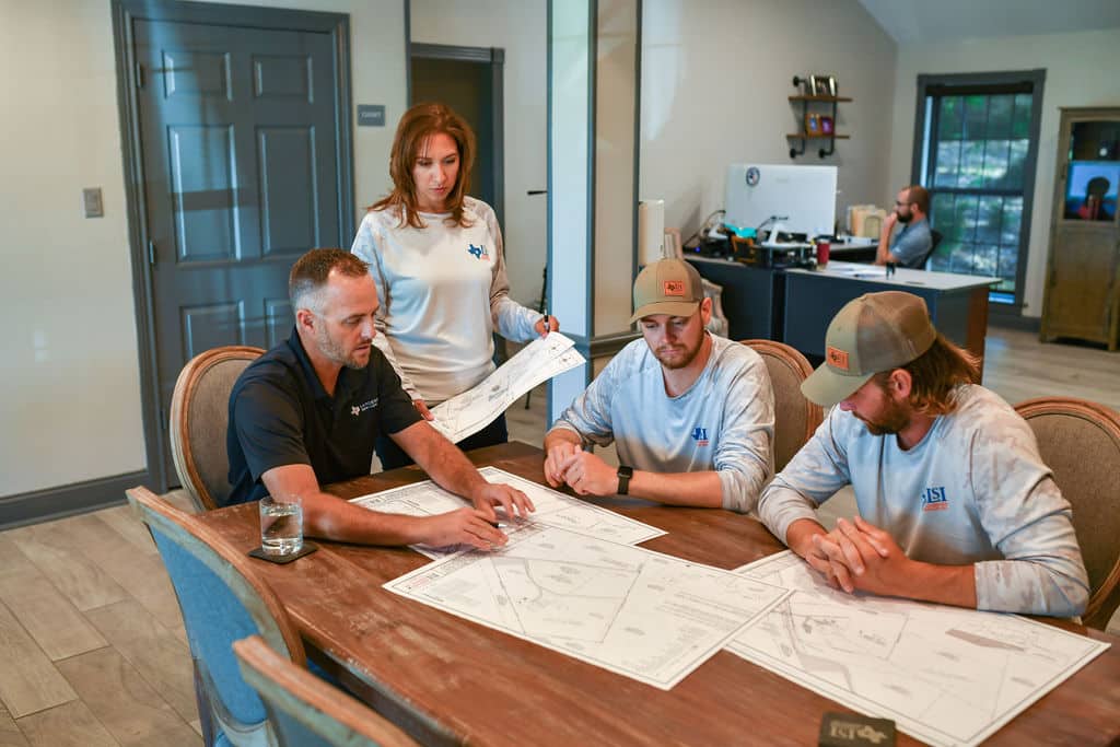
Our expert-level survey teams deliver premium and timely survey solutions by working intimately with each client to develop efficient and comprehensive mapping for every project.

Land survey technician peers into visual port of Total Robotic Station for Landesign Services, Inc.

Geospatial Services

With cutting-edge technology and highly-trained experts, we can approach your project from land or sky for the most detailed mapping of any terrain.

Drone and work boots with hard hat by Landesign Services, Inc. on front porch of business

Private Developments

Keep your project moving forward with accurate and detailed information for all stages of development and construction.

Two land survey professionals watching computer screen and reviewing data from land survey on digital platform

Public Works Projects

Communication is critical to successfully complete large-scale projects with various stakeholders. We’ve developed best practices through decades of experience so you can count on a premium survey product.

land survey technicians on highway in central Texas

State Land Surveying

For official state survey services regarding patents, deeds of acquittance, vacancy applications, gradient boundary and riparian boundary surveys. Consulting and detailed surveys are also provided for general land office archives research and expert guidance for litigation.

land survey documents being reviewed by the team at Landesign Services, Inc.
Get in Touch

Contact Details

Call us today to see how we can support your next construction project or civil engineering effort with premium survey products and services.

Address

10090 W. Highway 29
Liberty Hill, TX 78642

Call Us

512-238-7901

Scroll to Top