
services
Geospatial Services
Dependable and reliable data from start to finish
Innovative solutions
Geospatial Services
Airborne LiDAR
Cover large areas quickly with increased accuracy via Airborne LiDAR for a detailed 3D map
Terrestrial LiDAR
Use a ground surface system to map your area with 3D measurements of surfaces and objects
Mobile LiDAR Surveys
Render a 3D map from data collected as the system moves along the ground via a vehicle
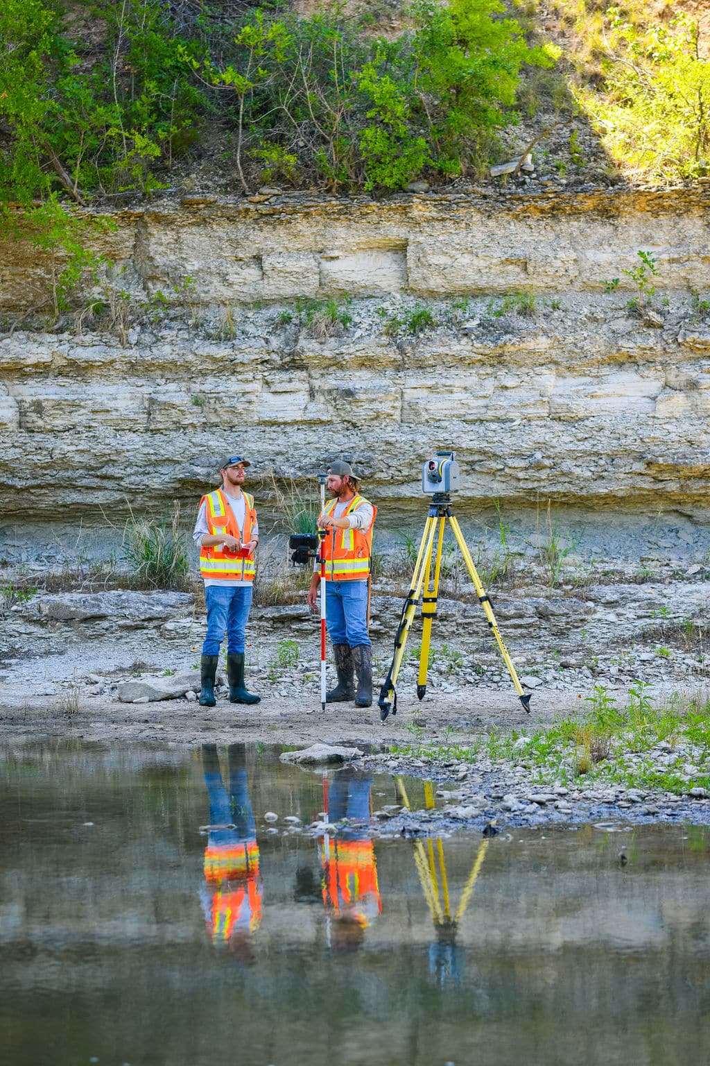
Hydrographic Surveys
Get important insights on a body of water and the physical features under the surface
Photogrammetry
Map your surface area with aerial or ground-based images used to calculate your survey
GPS Surveys
Get accurate, rapid results with our satellite-based navigation and surveying systems
what we do
Forward-looking solutions for a rapidly changing world
Our responsibility as a survey firm is to protect the public with dependable and reliable data. We supply the latest technology and go the extra mile because our clients deserve our very best.
Trusted SBE for TxDot