We rise and fall as a team and take that belief with us to every job. It’s our core value as servant leaders. Every member of Landesign Services, Inc. is actively engaged and constantly looking to improve. We watch out for each other which helps us protect our clients and ensure our land surveyors and your project are set up for success.
“Our clients know they can trust us to get the job done right, partly because we truly care. We live here, we use these facilities and drive these roads. We want the very best for our communities.”
We’re thrilled to welcome two new additions to the Landesign family: Edward Prince, Regional Survey Director, and Adrianne Prince, Operations & Marketing Coordinator. Their exceptional talent brings tremendous value, and we look forward to seeing the impact they’ll have on our continued success.
We’re also proud to announce the opening of our new office in Buda, Texas—an expansion that marks a major milestone in our commitment to excellence, allowing us to better serve our clients and broaden our reach across Texas.
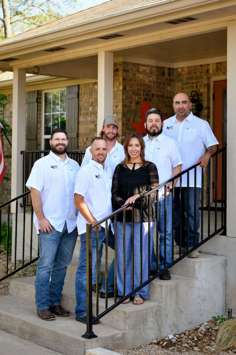
Landesign Services Leadership Team
Our Team
Our Leadership Team
Meet our leaders at Landesign Services, Inc. Combined, their years of experience as land surveyors is more than a lifetime. Individually, they’re experts in their field and keep us true to our mission – integrity in all things.
President, Landesign services, inc.
Brandy Tabor
Certificates and affiliations
FAA Remote Pilot No. 4099225
Texas Society of Professional Surveyors
National Society of Professional Surveyors
Women in Transportation
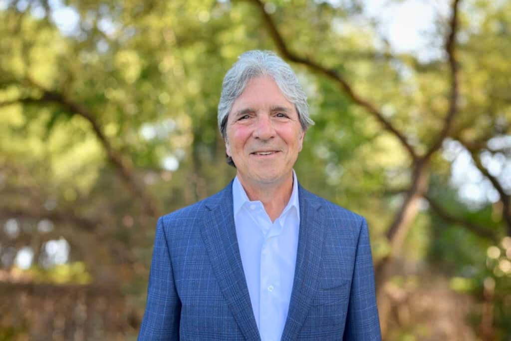
Vice President, Landesign services, inc.
Travis Tabor, RPLS
Certificates and affiliations
Texas Registered Professional Land Surveyor No. 6428
FAA Remote Pilot No. 4366159
TxDOT Pre-Certification No. 21794
Texas Society of Professional Surveyors
2019 – Present, Statewide Director
2018 – TSPS Presidential Award
2017 – Present, SurPAC Co-Chair
2015 – 2017 – Chapter 13 President
SENIOR SURVEYOR
Bill O'Hara, RPLS/LSLS
Certificates and affiliations
Texas Registered Professional Land Surveyor No. 4878
National Society of Professional Surveyors
2016 – Present, TSPS Secretary / Treasurer
2016 – Present, TSPS Government Affairs Committee Chair
2007 – Present, NCEES Member, EPS Committee
2004 – TSPS Surveyor of the Year Award
2006 – 2015, Texas Board of Professional Land Surveying
2004 – 2007, Director for TSPS Board of Directors
1996 – 2004, TSPS Chapter 13 Board of Directors
To see Bill’s full Bio, CV, and list of credentials CLICK HERE.
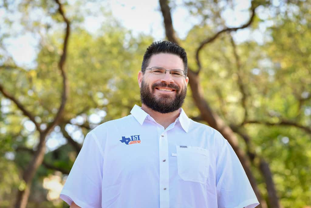
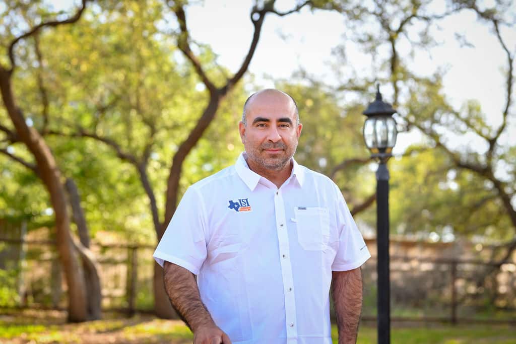
senior Project manager
Frank Funk, RPLS
Certificates and affiliations
Texas Registered Professional Land Surveyor No. 6803
Illinois Professional Land Surveyor No. 035003801
Bachelor of Science – Land Surveying
Texas Society of Professional Surveyors
National Society of Professional Surveyors
TSPS Chapter 13 Vice President, 2023/2024
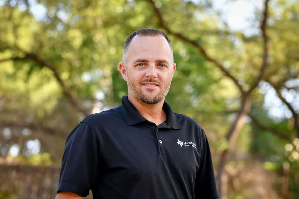
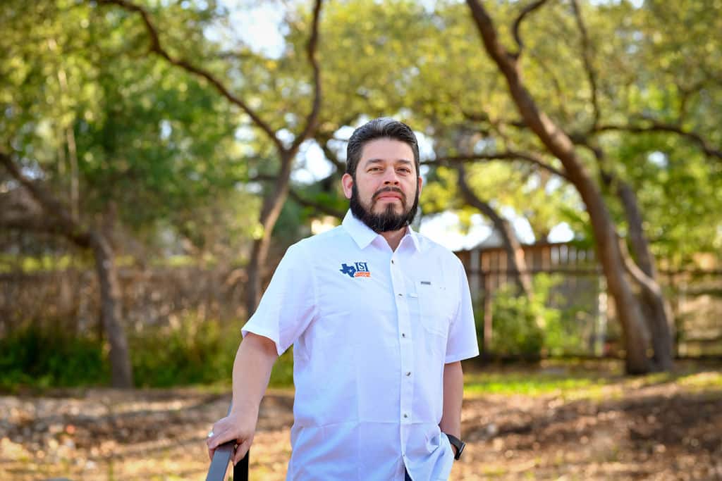
Project manager
Hector Salas
Certificates and affiliations
Texas Society of Professional Surveyors
National Society of Professional Surveyors
TSPS Chapter 13 First Year Director, Second Term, 2023/2024
remote sensing specialist
Joseph Armstrong
field crew coordinator
Josh Eppler
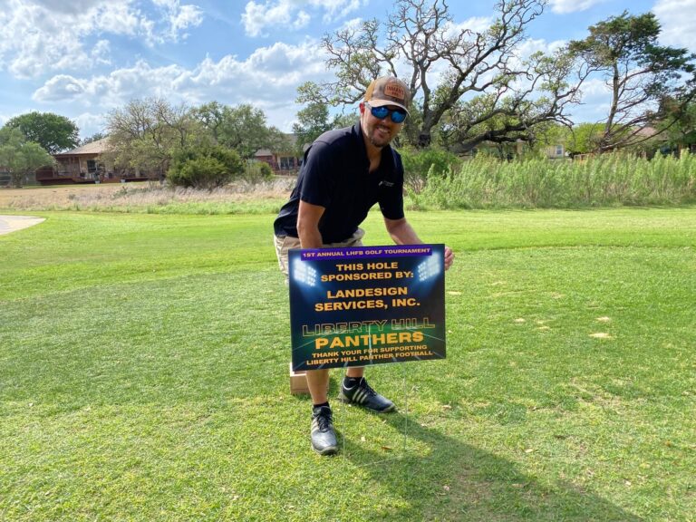
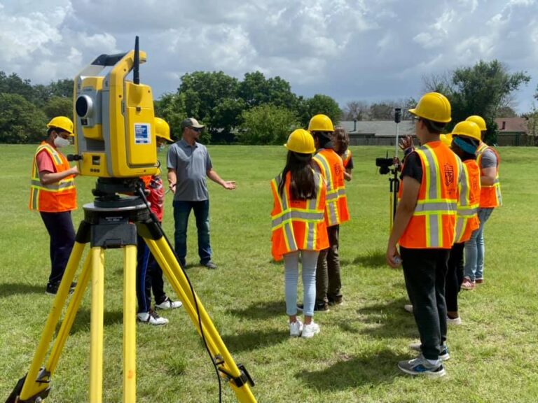
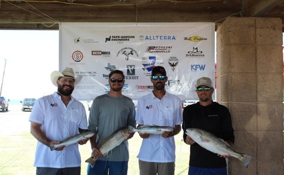
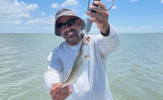
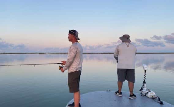
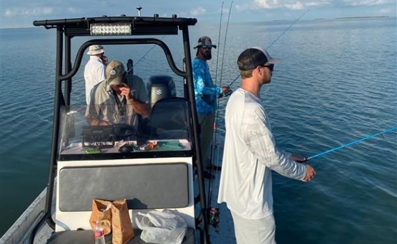
Philanthropy
Giving Back
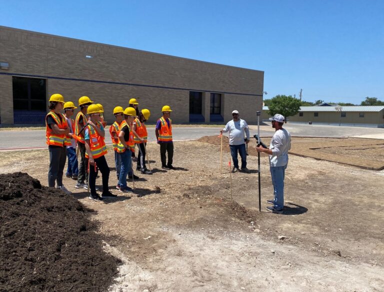
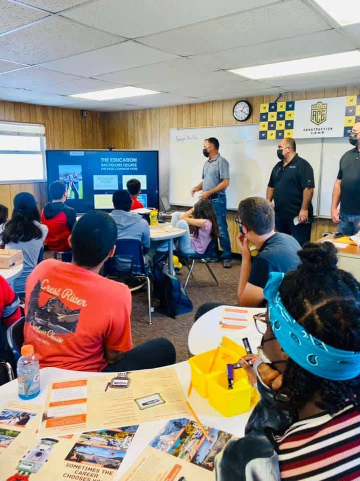
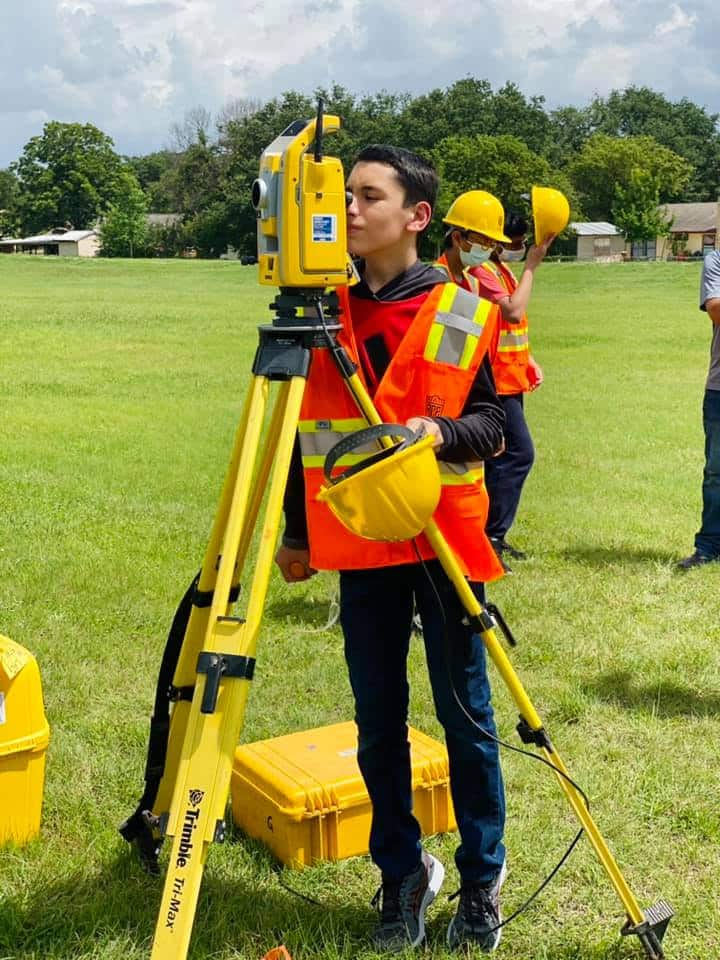
Guiding the next generation of Land Surveyors
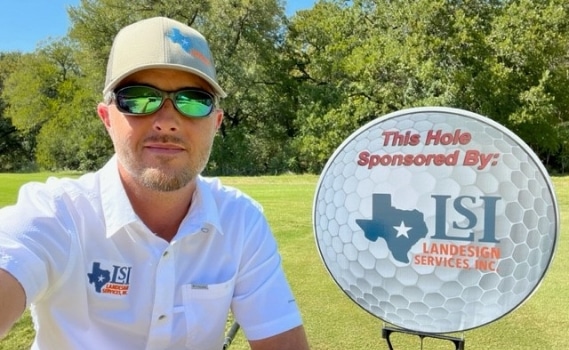
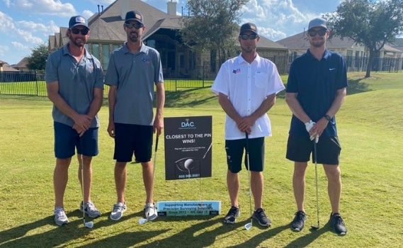
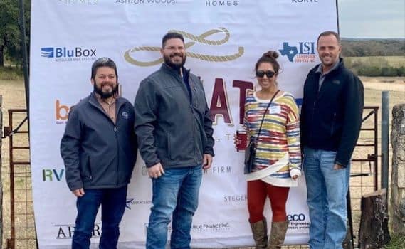
We love to give back, from sponsoring local organizations to partnering with youth league camps and high school CTE programs to inspire young minds to participate in the development of our infrastructure.
We set our teams up for success because when one of us succeeds we can help lift up others around us. It’s leading with integrity. For us, that means encouraging our team members’ individual growth and professional development, from education to team-building, and good old-fashioned fun. We follow basic tenants like